Description
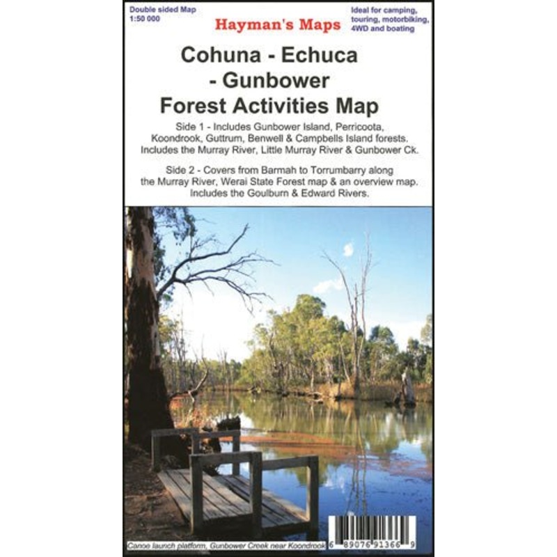
A double-sided map that covers many locations around the Murray River region, including Gunbower Island, Perricoota, Koondrook, Guttrum, Benwell Island, Campbell Island, as well as the Werai State Forest Map.
 Free shipping on orders over $30
 Sale!
Sale! A double-sided map that covers many locations around the Murray River region, including Gunbower Island, Perricoota, Koondrook, Guttrum, Benwell Island, Campbell Island, as well as the Werai State Forest Map.
A double-sided map that covers many locations around the Murray River region, including Gunbower Island, Perricoota, Koondrook, Guttrum, Benwell Island, Campbell Island, as well as the Werai State Forest Map.

Reviews
There are no reviews yet.