
Description
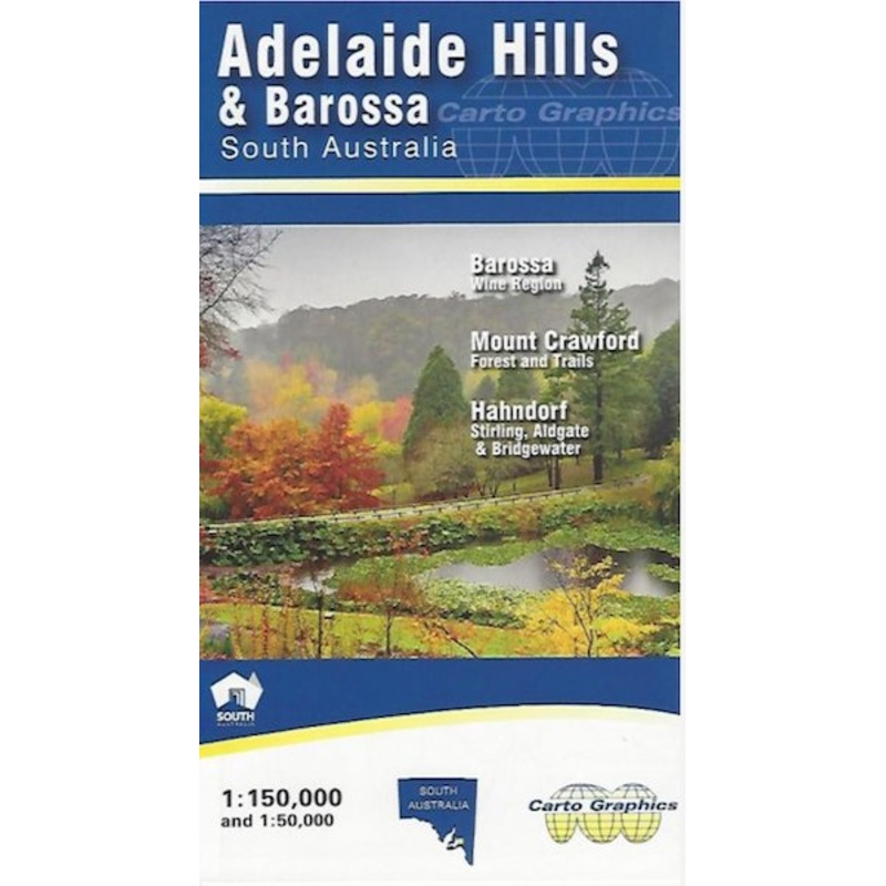
Adelaide Hills and Barossa Map (2nd edition)
A detailed touring map of the Adelaide Hills and Barossa region at a scale of 1:150,000. Covers the Barossa wine region; Mount Crawford forest and trails; and Hahndorf, Stirling, Aldgate and Bridgewater. Clearly displays long distance trails, Heysen Trail, Mawson Trail, Kidman Trail, Lavender Federation Trail etc.
Includes 1:50,000 inset blow-up map of the central area, Crafers to Hahndorf. Map reverse side has 1:75,000 scale Barossa Wine Region map and 1:50,000 scale topographic standard map for the popular Mount Crawford Forest and surrounds. Index for Towns and localities, parks and reserves, winery cellar door
KeyFeatures
- Detailed roads
- Road names
- Parks and reserves
- Winery cellar doors
- Hill shading
- Towns and localities index
- Long distance trails
KeySpecifications
Edition: 1st
Publication Date:01/01/17
Scale:1:150,000
Folded size (WxHxD): 140mmx 250mm x 3mm
Flatsize (WxH): 685mmx 1000mm
Weight: 0.08kgs
Reviews
There are no reviews yet.