
Description
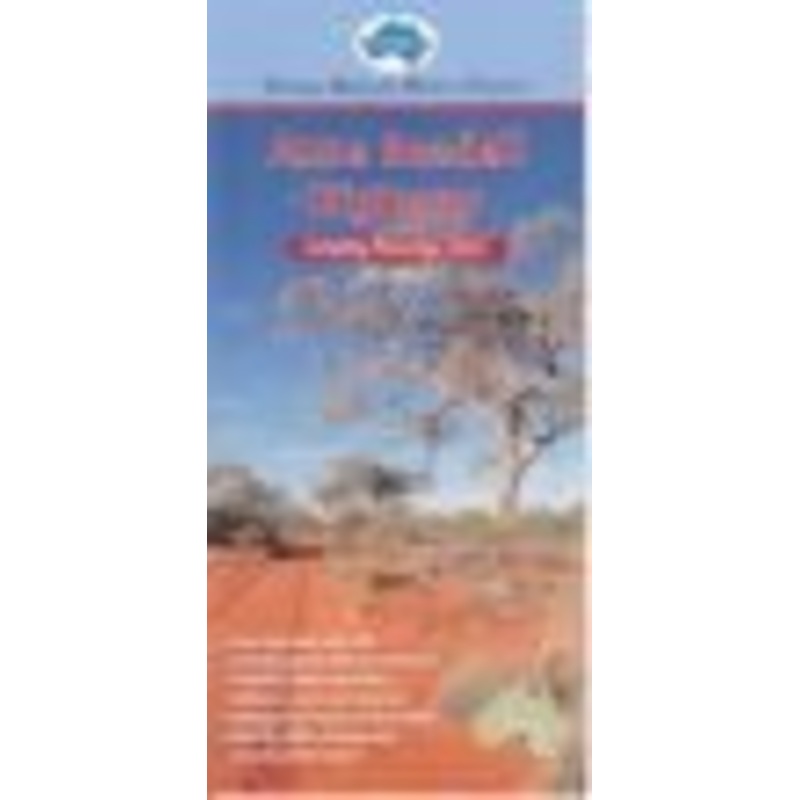
The Anne Beadell Hwy is one of Len Beadell’s most famous roads built in the late 1950s to provide access to the first atomic bomb test site at Emu. This outback track now runs from Coober Pedy in South Australia to Laverton in Western Australia. Scale is 1:1.75 Million.
A feature of all Westprint maps is the amount of text of historic and tourist interest.
The map contains numbered symbols cross-referenced to detailed information on each numbered site. Intermediate and major distances are clearly shown and there are symbols for fuel locations, rest areas, caravan parks and camp sites. Early explorers routes have been colour-coded. There are also GPS co-ordinates.
Thismap covers: the Anne Beadell Highway from Coober Pedy in South Australia to Laverton in the West.
KeyFeatures
- Detailed 4WD tracks
- National parks
- Specific 4WD, caravan and campinginformation
- GPS surveyed roads & tracks
- Heritage & tourist information
KeySpecifications
Edition: 3rd
Publication Date:01/01/15
Folded size (WxHxD): 100mmx 210mm x 1mm
Flatsize (WxH): 700mmx 1000mm
Weight: 0.02kgs


Reviews
There are no reviews yet.