
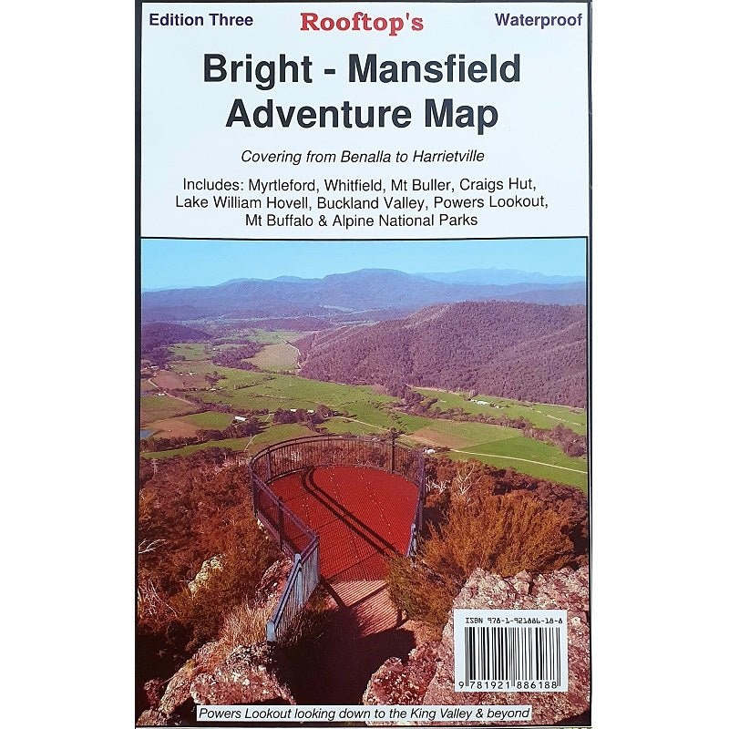
Description
Uncover the stunning landscapes of the Victorian wilderness with Rooftop Maps Bright – Mansfield Adventure Map. This comprehensive map provides an in-depth view of the region, covering the captivating Wonnangatta Approaches, the breathtaking Mt Buffalo Plateau, and the pristine Alpine National Parks. It’s your key to exploring the most picturesque and rugged terrains in this area.
In addition to its detailed coverage of the great outdoors, this map also includes practical town maps for both Bright and Mansfield. These town maps offer essential guidance when navigating these charming towns, making your journey not only exciting but also convenient.
Rooftop Maps are celebrated for their accuracy and reliability, ensuring that you have the most precise information for your outdoor adventures. Whether you’re planning a hiking expedition, searching for scenic viewpoints, or simply yearning for a profound connection with nature, the Rooftop Maps Bright – Mansfield Adventure Map is the perfect companion.
KeyFeatures
- Detailed 4WD tracks
- National parks
- Camping areas
- GPS surveyed roads & tracks
- Inset town maps for both Bright and Mansfield
- Waterproof paper
KeySpecifications
Edition: 3rd
Publication Date:01/03/16
Folded size (WxHxD): 150mmx 235mm x 4mm
Flatsize (WxH): 700mmx 1000mm
Weight: 0.09kgs
Reviews
There are no reviews yet.