Description
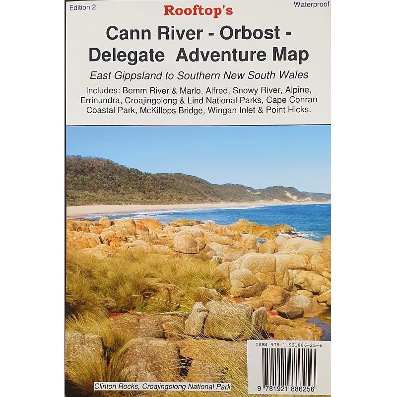
A map that covers East Gippsland to southern New South Wales, including Bremm River and Marlo. Alfred, Snowy River, Alpine, Errinundra, Croajingolong and Lind National Parks, while also including Cape Conran Coastal Park, McKillops Bridge, Wingan Inlet, Point Hicks, Delegate, Bonang, Bendoc, Goongerah, Combienbar, Cabbage Tree Creek, Bellbird Creek, Glen Arte, Murrungowar, Errinundra National Park, Club Terrace, Tubbut, and Deddick.
KeyFeatures
- Detailed 4WD tracks
- National parks
- Camping areas
- GPS surveyed roads & tracks
- New inset maps for the Sydenham Inlet Access Map, Tamboon Inlet Access Map, Huts and Waterfalls Far East Gippsland and Cape Conran Coastal Park & Camping Area
- Waterproof paper
KeySpecifications
Edition: 2nd
Publication Date:01/09/22
Scale:1:100,000
Folded size (WxHxD): 140mmx 250mm x 4mm
Flatsize (WxH): 700mmx 1000mm
Weight: 0.09kgs


Reviews
There are no reviews yet.