
Description
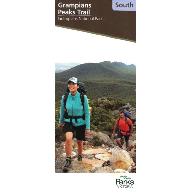
The Grampians Peaks TrailSouth Map covers this section of Victorias newest long-distance trail.
The Grampians Peaks Trail is a 164km, multi day walk which showcases the many and varied features on offer across the Grampians National Park. The trail has been designed as a 13-day/12 night hiking experience from Mt Zero in the north to Dunkeld in the south, with unique hike-in campgrounds to enjoy along the route.
The trail has been designed to provide varying experiences for multiple user groups including day walkers, independent walkers, walking groups, guided walkers, full facilitated walkers and school groups. Options include single-day hikes, overnight hikes (1, 2 or 3 nights), as welll as the entire 13-day, 164 km experience.
Walkers will experience climbs to dramatic mountain peaks, rugged rocky ridgelines, the diversity of the park’s flora, and the ancient Aboriginal culture of Gariwerd.
This map covers the southern section at 1:50,000 from Jimmy Creek Road to Dunkeld.
Well presented, this map covers all you need to know while on the walk.
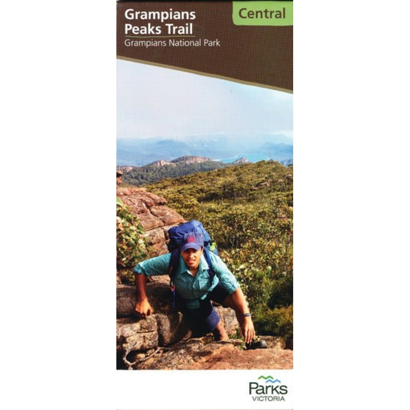
Other sections available at the Central andNorth maps.
Key Features
- 1:50,000 Scale Map
- Easy to read format
- Detailed topographic coverage
- Route notes & planning information (including trailheads and access points)
- Campground information
- Descriptions of side trips
KeySpecifications
Edition: 1st
Publication Date:01/03/22
Scale:1:50,000
Folded size (WxHxD): 100mmx 250mm x 3mm
Flatsize (WxH): 700mmx 1000mm
Weight: 0.13kgs

Reviews
There are no reviews yet.