
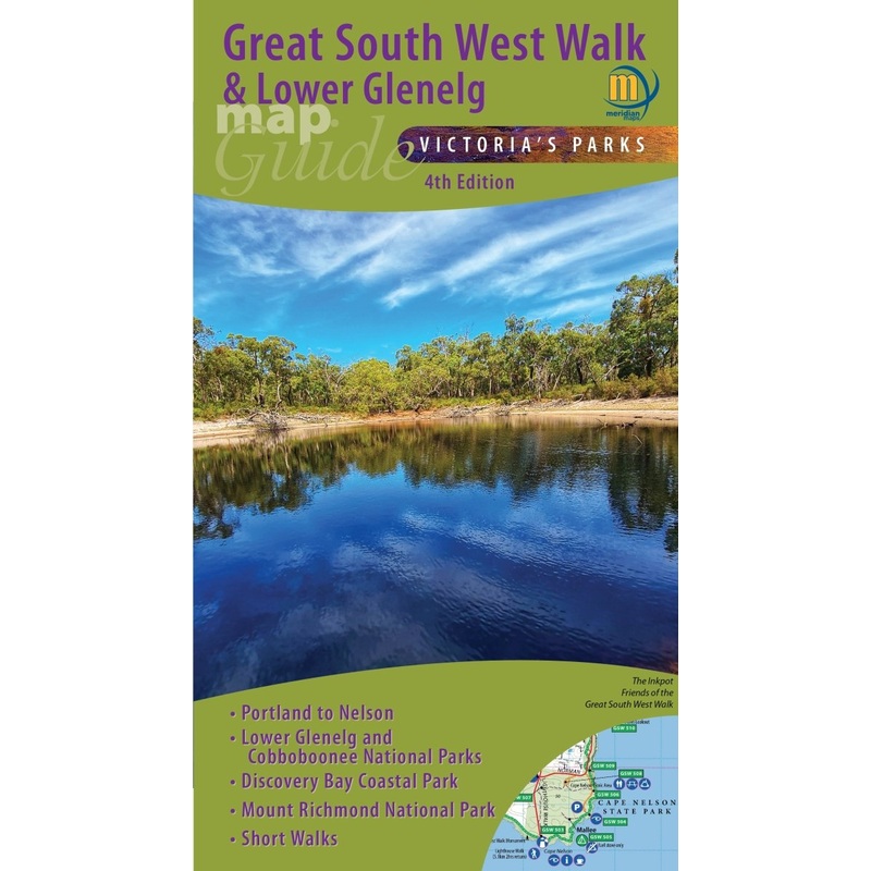
Description
Topographic map (at 1:50,000 scale) covers the entire Lower Glenelg National Park, Cobboboonee National Park, Mt Richmond National Park and Discovery Bay Coastal Park. The map features the entire 250kms of the Great South West Walk, from Portland through to Nelson and back including all the designated campsites. Ideal for canoeing the Glenelg River as far as Dartmoor. Includes the Wood, Wine & Roses Forest Drive and the Great Cobbobonee Horse Trail. Ideal for bushwalkers, fishers, day-trippers and 4-wheel drivers, canoeists, horse riders. Now includes all Emergency Markers along the Great South West Walk.
Thismap includes:
- Lower Glenelg National Park
- Cobboboonee National Park
- Nelson to Dartmoor toPortland
- Discovery Bay Coastal Park
KeyFeatures
- Scale 1:50,000
- Suitable for use with GPS
- Shows all Emergency Markers
- Double-sided with overlapping area
- Features the Great South West Walk
- Includes walk and river travel times
KeySpecifications
Edition: 4th
Publication Date: 1/10/23
Scale:1:50,000
Folded size (WxHxD): 138mmx 250mm x 4mm
Flatsize (WxH): 690mmx 1000mm
Weight: 0.09kgs

Reviews
There are no reviews yet.