
Description
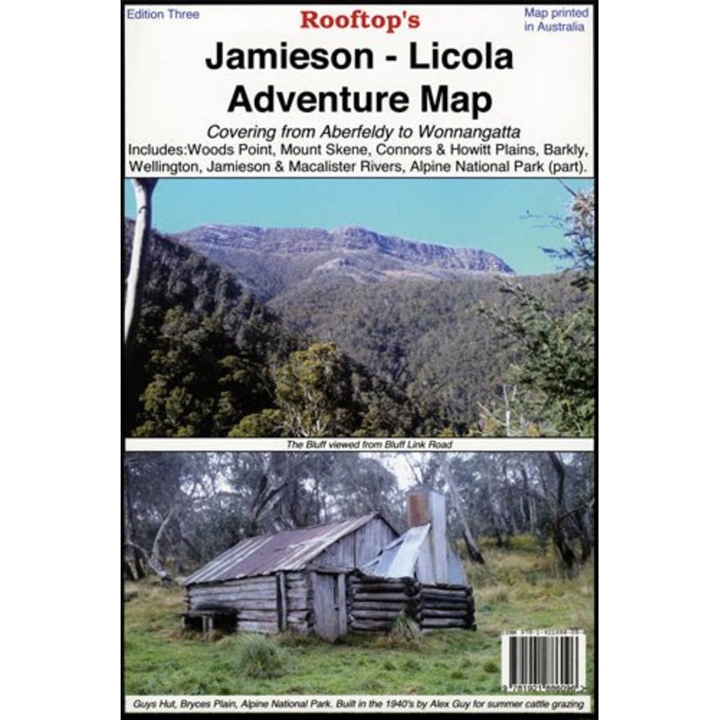
Embark on a remarkable journey through Victoria’s wild landscapes with the Rooftop Maps Jamieson – Licola Adventure Map. Covering an extensive area from Aberfeldy to Wonnangatta, this map unveils the region’s natural beauty, including notable destinations like Woods Point, Mount Skene, the Alpine National Park, and serene Macalister and Thomson Rivers.
As you navigate this picturesque terrain, you’ll also have the chance to explore the tranquility of Connors and Howitt Plains. Rooftop Maps are renowned for their precision, offering the most accurate and reliable information for outdoor enthusiasts. Whether you’re a seasoned hiker, a nature lover, or a curious explorer, this map will be your trusted companion, guiding you with confidence.
With the Rooftop Maps Jamieson – Licola Adventure Map in hand, every trail, viewpoint, and hidden gem is within reach. Whether you’re seeking challenging hikes, leisurely riverside walks, or a deeper connection with nature, this map is your key to unforgettable experiences in the captivating wilderness of Victoria.
KeyFeatures
- Detailed 4WD tracks
- National parks
- Camping areas
- GPS surveyed roads & tracks
- Waterproof paper
KeySpecifications
Edition: 1st
Publication Date: 1/01/2012
Scale:1:100,000
Folded size (WxHxD): 140mmx 210mm x 4mm
Flatsize (WxH): 700mmx 1000mm
Weight: 0.09kgs
Reviews
There are no reviews yet.